
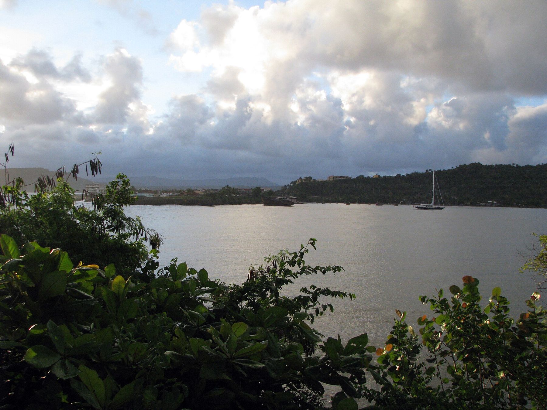
Baracoa sits on a small bay at the far eastern tip of Cuba, wedged between the Atlantic and steep green mountains. It is the oldest Spanish town on the island, founded by Diego Velázquez in 1511, and for most of its history it was isolated, reachable mainly by sea. That isolation shaped a town unlike any other in Cuba, with its own food, its own pace and a landscape of rainforest, rivers and coconut palms.
It is also one of the wettest places in the country. Rain falls in heavy bursts through much of the year and the hills stay green, so bring a rain jacket and keep plans loose. The reward is a town that feels far from everywhere, with a seafront, a handful of colonial forts and some of the wildest nature in the Caribbean on its doorstep.
Cuba's first town
When the Spanish arrived, eastern Cuba was home to the Taíno, the indigenous people of the islands. Christopher Columbus sailed along this coast in 1492, and the town claims he landed in its bay. A wooden cross kept in the cathedral, the Cruz de la Parra, is said to have been planted by him; tests suggest the wood is old, though its connection to Columbus is still debated.
In front of the cathedral stands a bust of Hatuey, a Taíno leader from Hispaniola who crossed to Cuba and led resistance against the Spanish. He was captured and burned at the stake in 1512, and is remembered in Cuba as the first rebel against colonial rule. The town also kept small forts, built later against pirates; one of them, the Fuerte Matachín, now houses the town museum, which traces the region's story from the Taíno to the present. Below it the seafront Malecón runs along the Atlantic, where waves break over the wall in rough weather and people gather in the evening to fish and talk.
i
Photograph by Maesi64, CC0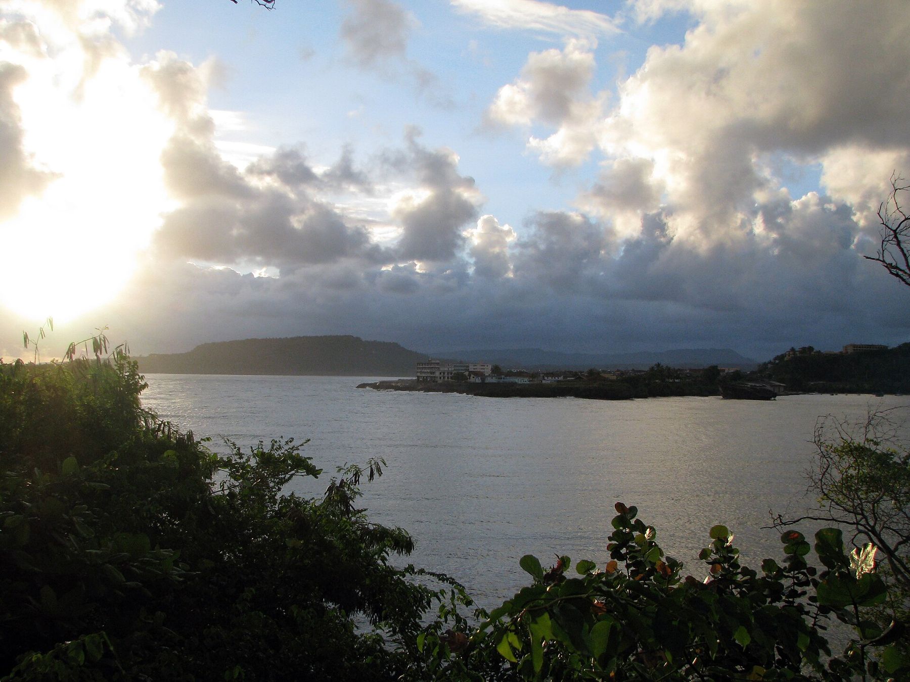
i
Photograph by Hyppolyte de Saint-Rambert, CC BY-SA 4.0La Farola, the road over the mountains
Until the 1960s there was no proper road into Baracoa from the south. The La Farola highway, completed in the mid-1960s, changed that. It leaves the dry south coast near Cajobabo and climbs in tight curves over the mountains of the Sierra del Purial, crossing passes and following ridges before dropping through forest to the north coast. It was one of the major engineering projects of its time in Cuba and remains a dramatic drive.
The road passes from cactus and dry scrub to pine forest and lush rainforest in a few hours. Along the way, people sell fruit, cacao and coconut sweets from roadside stalls. Driving is slow, with sharp bends, steep drops and occasional landslides after storms. Go by day, with a driver who knows it, and check conditions before you leave, especially in the rainy season.
El Yunque and the rivers
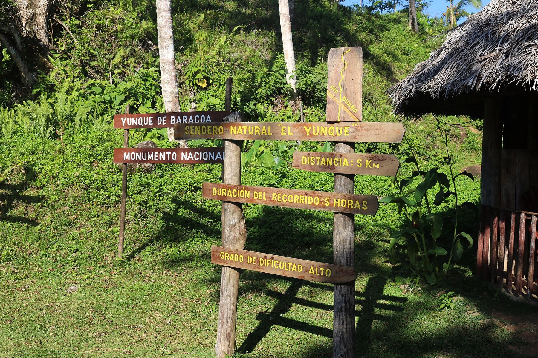
West of the town rises El Yunque, a flat-topped mountain shaped like an anvil, which is what its name means. It is the landmark of Baracoa, visible from the seafront and from far out at sea, and early chroniclers linked it with a mountain described by Columbus. The climb to the top, through forest and farmland, takes most of a morning and is steep and often muddy. A licensed guide is required, and the views over the coast and the rivers below are the reward.
Give the town at least three nights, so a wet day does not cost you everything.
i
Photograph by Maesi64, CC0The rivers around Baracoa are part of its life. The Duaba, near El Yunque, meets the sea at a small black-sand beach. The Toa, to the west, carries more water than any other river in Cuba and runs through deep forest; local boatmen take visitors up it in small boats. East of the town, the Yumurí flows through a narrow canyon between steep rock walls. Swimming in the rivers is common, but currents change quickly after rain, so ask locally first.
The beaches near Baracoa are wild rather than polished. Playa Maguana, north-west of town, is the best known, a curve of pale sand backed by palms and sea grape; the beaches at the river mouths closer in are darker and rougher. Currents can be strong, so swim where local people do.
 Further along · The craftEating at Cuban tables
Cacao, coconut and Baracoa's own kitchen
Baracoa is the heart of Cuban cacao growing. The trees grow in the shade of the forest on the hills around the town, and you can visit small farms where the pods are opened, the beans fermented and dried, and a rough, bitter chocolate made by hand. Visits are usually arranged through hosts or local guides; what you see varies, so agree the plan and the price first. Much of Cuba's chocolate is made from beans grown here.
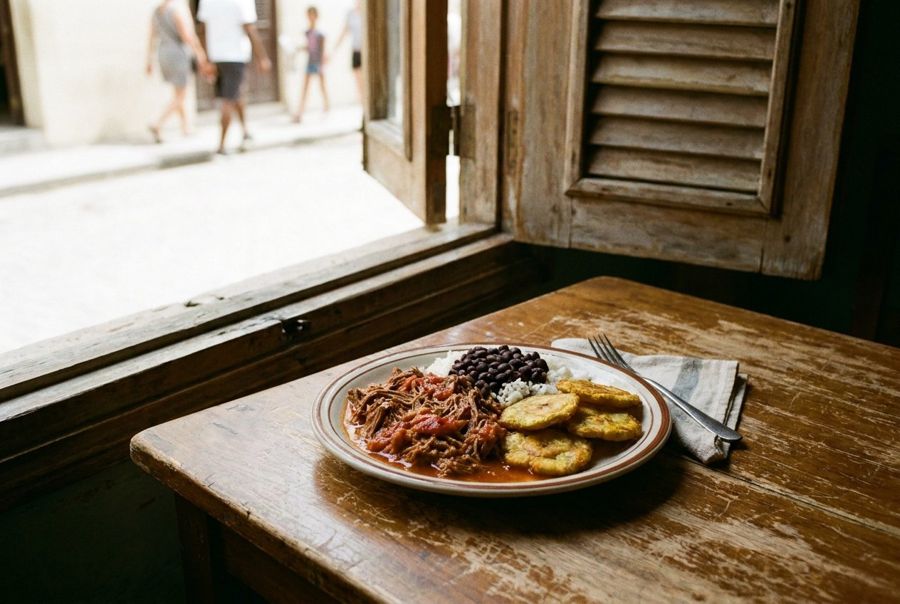
Coconut is everywhere, too. The town's cooking uses coconut milk, called lechita, in fish and rice dishes that you will not find in the rest of the country. The best-known sweet is the cucurucho, a mix of grated coconut, sugar and fruit packed into a cone of palm leaf and sold along the roads. Fruit is abundant, and the local diet leans on bananas, root vegetables and fish.
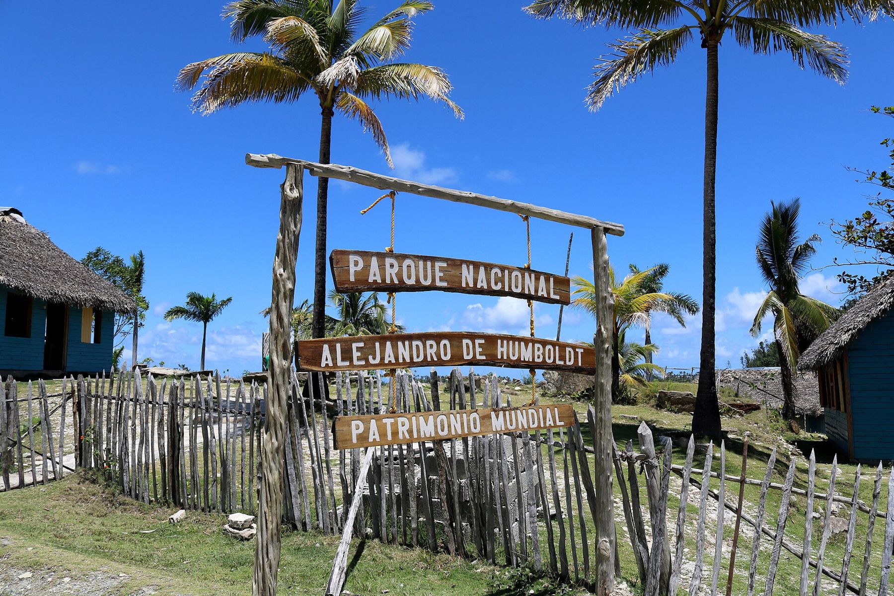
Humboldt National Park
North-west of Baracoa, the Alejandro de Humboldt National Park covers a vast stretch of mountains, rivers and forest, named after the German naturalist who travelled in Cuba in the early nineteenth century. UNESCO listed it as a World Heritage site in 2001 for its extraordinary range of plants and animals, many found nowhere else, which make it one of the most biologically diverse island parks in the Caribbean.
Among its rare species are the Cuban solenodon, a small nocturnal insect-eater, and bright Polymita tree snails, whose banded shells are protected; never buy them. Visitors can follow a few guided trails from the ranger station, through forest to waterfalls and river pools, or take a boat along the coast. Trails can be slippery, and the park guides know where to look for birds, orchids and the tiny frogs of the forest floor. The park is a long, rough drive from town; arrange it in Baracoa, and check which trails are open, as storms have damaged roads in the past.
Staying at the end of the road
Baracoa was badly hit by Hurricane Matthew in 2016, and storms remain a risk in the hurricane season, from about June to November. Electricity, fuel and supplies can be irregular, as elsewhere in Cuba. Give the town at least three nights, so a wet day does not cost you everything.
Getting there takes time. The usual route is by road from Santiago de Cuba via Guantánamo and La Farola; there is also an airstrip with limited flights. Read the notes on getting around the island and on money and connection before you leave, since cash and internet are harder to find at the end of the road.