
From the hills above Trinidad the land opens into a broad, flat valley of cane fields, pasture and scattered palms, with the Escambray mountains on one side and low hills on the other. It looks peaceful. Two centuries ago it was one of the most productive sugar regions in the world, and almost all of the labour that made it so was done by enslaved people brought from Africa.
The Valle de los Ingenios, the Valley of the Sugar Mills, is really three connected valleys: San Luis, Santa Rosa and Meyer. An ingenio is a sugar mill with its estate, and at the peak of the boom in the first half of the nineteenth century there were dozens of them here, more than fifty by most counts. In 1988 UNESCO listed the valley together with the town of Trinidad, because the two were one economy: the money made in the fields built the mansions on the square.
How a sugar valley worked
Each ingenio was a small, closed world. There were fields of cane, a mill to crush it, a boiling house where the juice was reduced in a row of great copper or iron pans, and a purging house where the sugar dried. Around these stood the owner's house, the overseer's house and the barracks where the enslaved workers were locked at night. The harvest, the zafra, meant months of cutting, hauling and boiling, often around the clock, in heat and danger.
Thousands of enslaved Africans and their descendants lived and died in this valley. Cuba continued to import enslaved people long after other territories had stopped, and slavery on the island was only fully abolished in 1886. The ruins you see, of chimneys, boiling-house walls and barracks, are what is left of that system. It is worth walking through them with that in mind rather than treating them as scenery.
The Manaca Iznaga tower
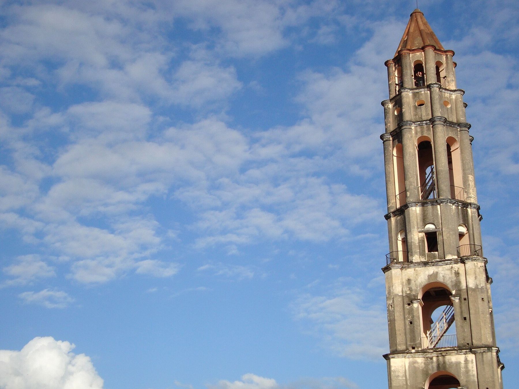
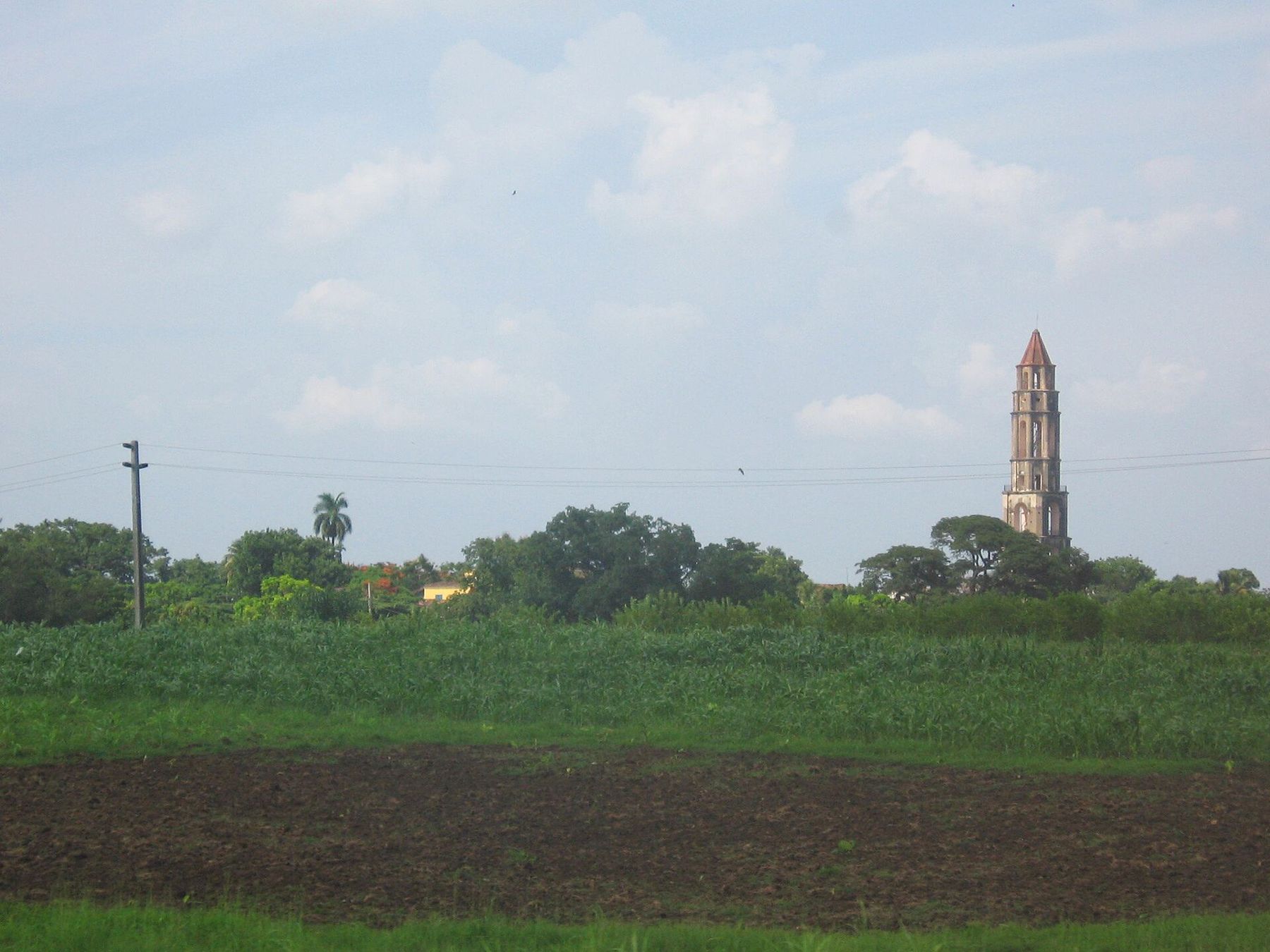
The best-known site in the valley is Manaca Iznaga, the estate of the Iznaga family, one of the richest in the region. Its tower rises about 45 metres above the flat fields, built in the early nineteenth century in tiers that narrow towards the top. It was a status symbol, visible across the valley, and it was also a watchtower: from the top an overseer could see the workers in the fields and anyone trying to escape. A bell hung from it to mark the hours of work.
i
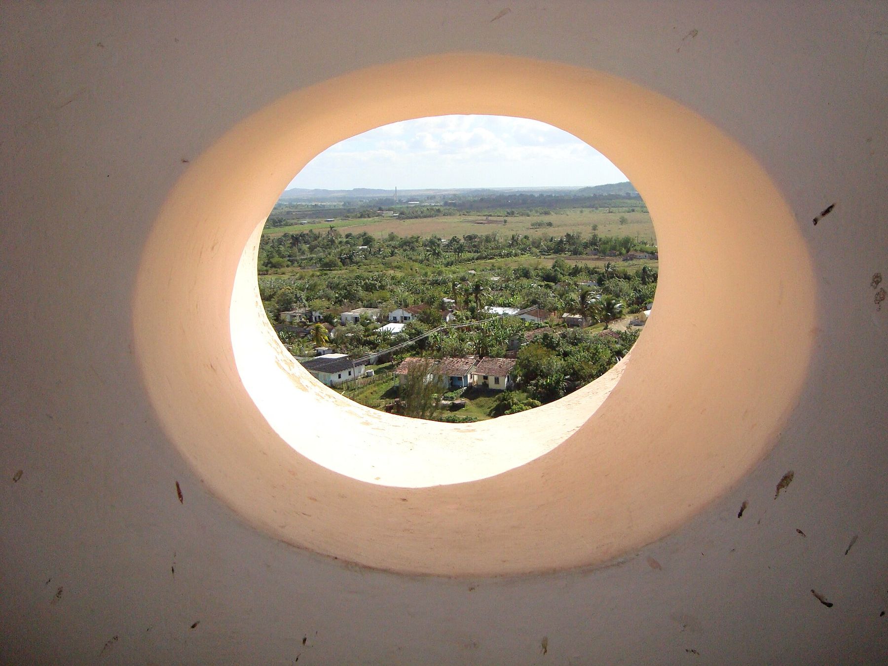
Photograph by isol, CC BY-SA 3.0Local stories say the tower was built as a contest between two brothers, one digging a well and one raising a tower; treat that as legend. What is certain is the view. You can usually climb the wooden stairs inside for a small fee, and from the upper floors the whole valley spreads around you, with the estate house below and the village that grew up on the old plantation.
i
Photograph by Adam Jones Adam63, CC BY-SA 3.0 Further along · The eastCamagüey, the city that wanders
Below the tower, the restored estate house has a terrace and a small exhibit. In the village around it, people sell lace and embroidered cloth hung along the lane. Look at the old barracks and the remains of the mill as well; they are less photographed but tell more.
The lookout over the valley
On the road from Trinidad towards Sancti Spíritus, a few kilometres out of town, the Mirador de la Loma del Puerto stands on a hill with a wide view across the valley floor. It is the best place to start, because it shows the scale of the land: you can see how far the cane once ran and how the estates spread along the river. Morning light is clearer; by afternoon heat haze softens the distance.
The old railway and other estates
A railway was laid through the valley in the nineteenth century to carry sugar down to the coast, and the line from Trinidad still crosses the fields. Over the years a train for visitors has run along it towards Manaca Iznaga, sometimes pulled by an old steam engine, but the service has stopped and started many times. Check in Trinidad before you count on it; most people now go by road.
Other estates are worth a look if you have time. Guachinango keeps an old estate house on a rise above the river. San Isidro de los Destiladeros has been studied by archaeologists, and its ruins show the layout of a full mill complex, with tower, boiling house and living quarters. Signage is often limited and opening times vary, so a local driver who knows the roads helps.
Seeing it with ease
Half a day is enough for the lookout, the tower and one other site. Hire a taxi from Trinidad for the round trip, agree the stops and the price before you set off, and start early. Cycling is possible on the main road but it is long, hot and busy with trucks. There is little shade at the sites, so carry water and cover up.
If you hire a driver for the day, ask to stop at some of the smaller ruins along the road as well. Many are unmarked, and a driver who grew up nearby often knows which old chimney belonged to which estate, and which families still live on the land.
The valley pairs naturally with a day in town, and with the other sugar towns of the centre. For a different chapter of the same history, the Bay of Pigs and the swamp to the west are covered in the Zapata swamp and Playa Girón. For transport between regions, see getting around the island.